
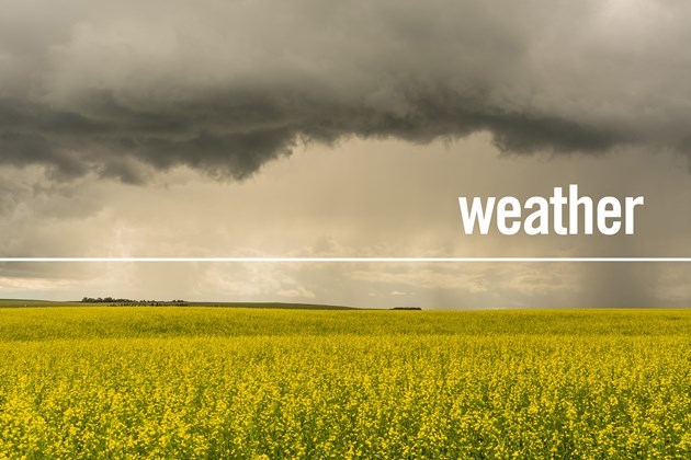
Temperatures across the province might be a lot cooler this upcoming week than they have been, but summer isn't over yet.
Justin Shelley a meteorologist with Environment and Climate Change Canada said the rest of the summer is forecasted to be hot and drier than normal.
“The first part of the month, the last part of July, and the very first few days of August might be a bit below normal (temperature wise).
“We're going to see a bit more rainfall activity here for the rest of the week, especially in central Alberta, but as a whole, based on the long-range models, it looks like August is going to be above normal with drier than normal conditions,” he said.
Shelley said the below normal conditions we are seeing right now are because a big ridge high pressure over the southern and eastern parts of the province that caused heat and thunderstorm activity is on it’s way out.
Behind that ridge of high pressure, Shelley said, we are seeing cooler than normal and unsettled conditions for most of the province.
“If I'm looking at Edmonton, for instance, we have some temperatures, daytime high temperatures in the teens here for the middle and late part of the week where our normal daytime high this time of year is 23 degrees.
“We're looking to be about five degrees below normal from Wednesday to Friday, and then a bit closer to normal for next weekend into early next week,” he said.
The extreme northern parts of the province, however, will be closer to near normal or slightly above, and the southeastern portion of the province “looks to be a couple of degrees above normal for the last week of July,” he said.
Shelley said summer so far has been a “bit of a contrast” from last summer.
This June there were 100 heat records for maximum daytime temperatures, while last June there was only record broken.
Last year, there were more daily maximum daytime temperatures broken. There were 38 records last year, whereas this year there were only 24.
“We definitely had a much warmer June relative to the year before just specifically talking about temperature records. And then slightly less so far in July, but we still have another week to go to see if we get any more in the south part of the province,” he said.
When it comes to storm activity we’ve seen across the province, Shelley said the most notable one was the tornado rated an EF 4 in Didsbury on July 1.
Overall, there have been 16 confirmed tornadoes in the province. Last year, there were eight confirmed tornadoes, and 2021 saw only three confirmed tornadoes.
The record number of confirmed tornadoes is nearly double this year’s amount. In 1988 there were 26 confirmed tornadoes, and in 2019 there were 23 confirmed tornadoes in Alberta. The record, however, only goes back to 1984, said Shelley.
Precipitation through the central parts of Alberta was also above average for June.
Shelley said Edmonton received 150 mmm of rain in June compared to the average of 77 mm.
“So, Edmonton and other parts of central Alberta received almost twice the amount of normal precipitation and that's in contrast to the spring where we were well below normal precipitation.
“We sort of switched from a very dry spring to a wet June and now we've seen an active July in terms of thunderstorm activity,” he said.
The northwestern part of the province and south and southeastern part of the province, there is a deficit of precipitation, said Shelley.
The deficit in the south is about 50 to 80 mm, whereas the deficit in the northwestern portion of the province is “closer to 100 mm.”
“It's sort of a tale of two areas of the province. It has been definitely warmer than normal throughout the province — warmer in central and southern parts of the province but definitely drier in the south and the northwest. While central areas have been seeing more precipitation than normal so far,” he said.


.jpg;w=120;h=80;mode=crop)
